Photo Adventures with Curiosity and Learning
- KMZ GPS files for Google Earth: Click to display on Google Earth
- Nov 17: Change - Sydney
- Nov 18: Arrive Sydney
- Nov 22: Sydney - Alice Springs
- Nov 23: Alice Springs - Uluru
- Nov 24: Palm Valley
- Nov 26: Alice Springs - Adelaide
- Dec 1: Adelaide - Changi
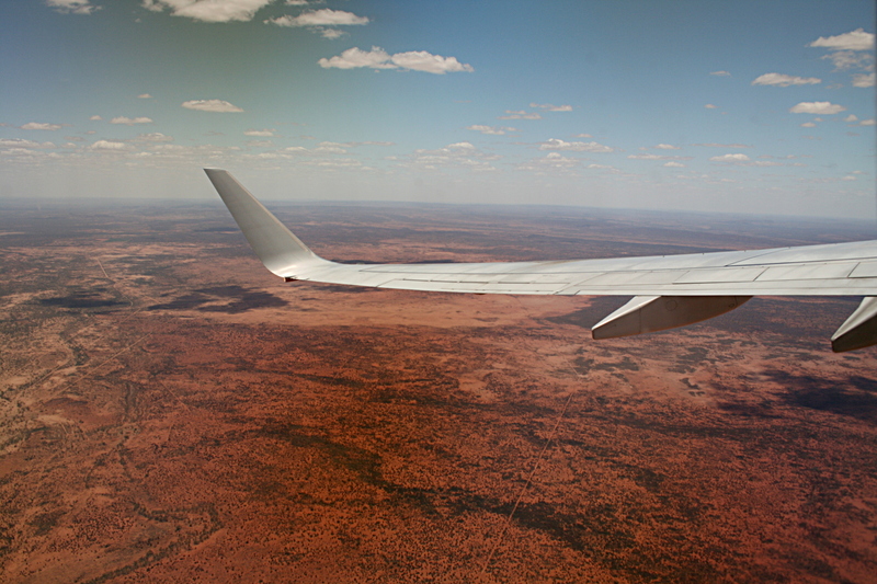
We took a QANTAS flight from Alice Springs to Adelaide and what a flight. When flying from Sydney to Alice Springs (another Qantas fligth), I did not have my camera available. However the coloration of the desert, the clouds and river beds were extraordinary. This time I had the camera in the "to document" mode. Here is the story. In addition I took a series of photos during takeoff and landing and stiched them together to synthesize n mpg video.
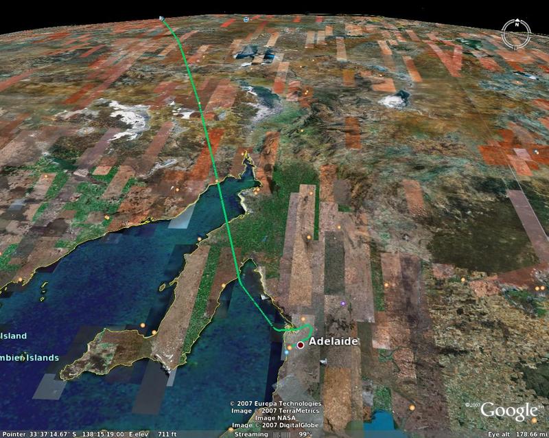
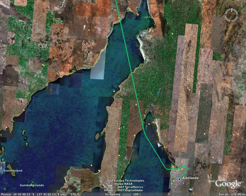
And here is our flight path
Here is the desert outside Alice Springs and the Stuart Highway below
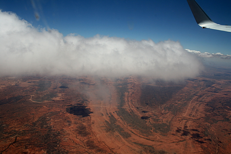
Here we are passing through the clouds and the contrast between blue sky and reddish desert was striking
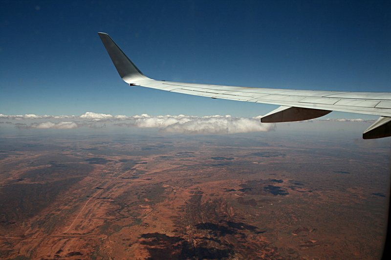
Here we are above the cloud level and the cloud shadows are easily seen
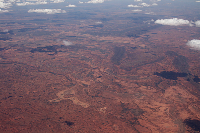
The various colors of the desert
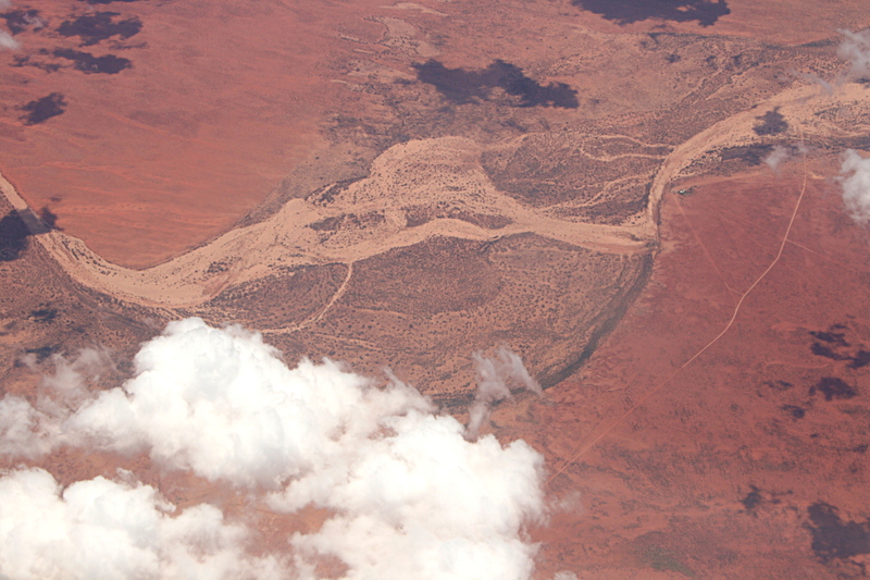
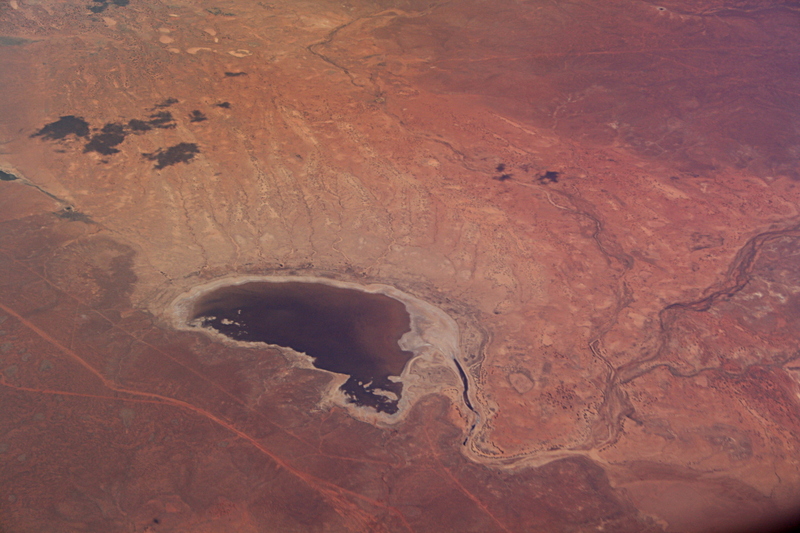
Here you can see a dry lake and river beds (that either feed the lake or drain it).
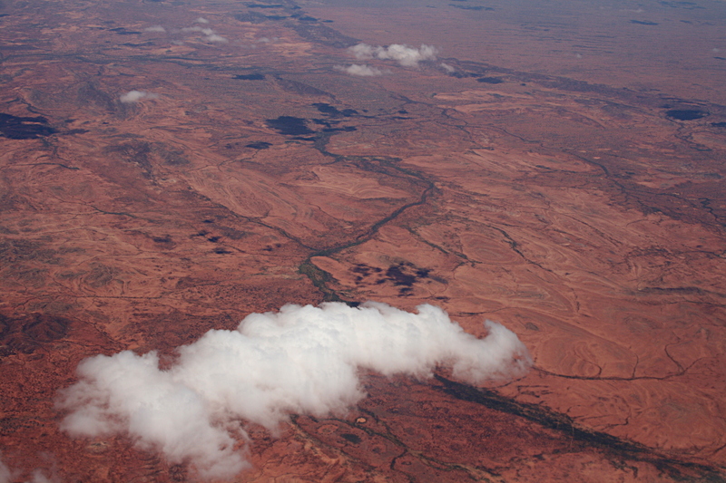
Cloud shadows and a meandering river bed
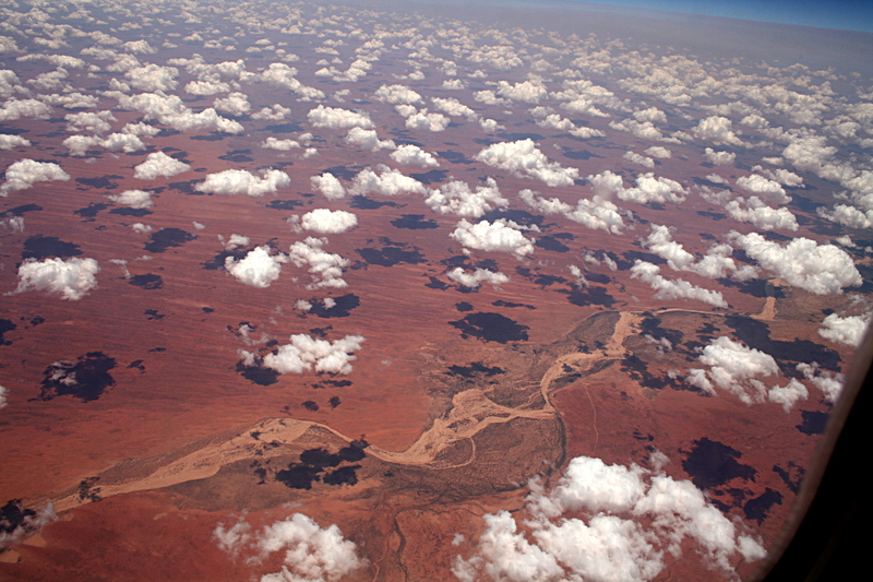
Multi-cloud shadows
A bifurcating river bed (lower left) and meandering stream beds (lower right).

Clouds, shadows and bifurcating river beds
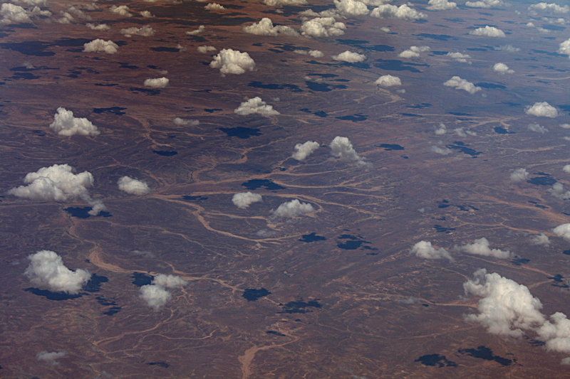
Patterns of bifurcating river beds
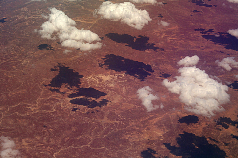
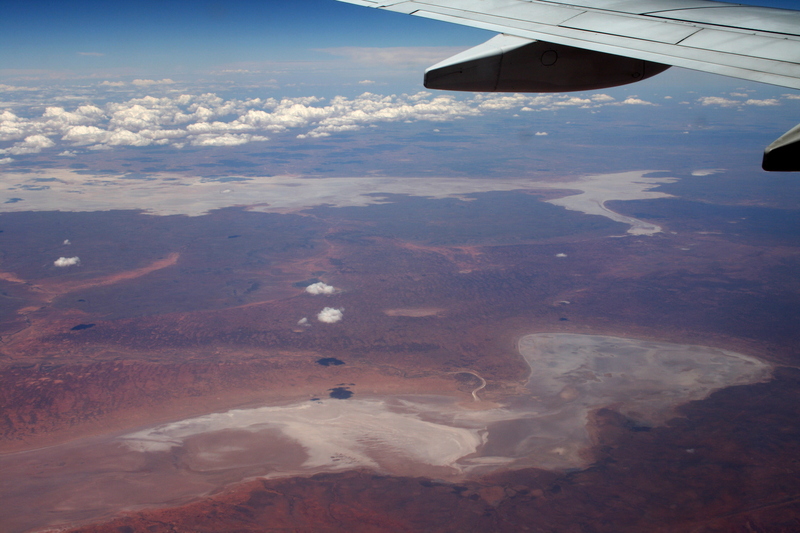
A dry lake with water
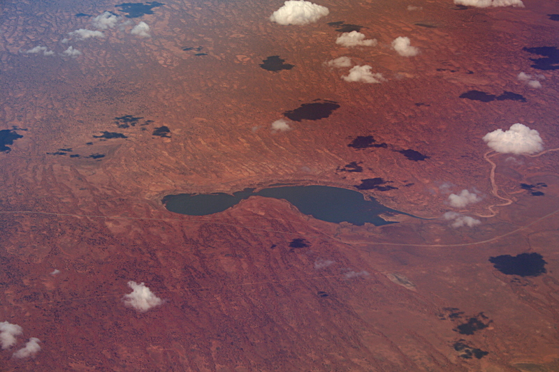
What a difference the angle makes on the water color. Color balance in a digital camera is a real challenge. To capture what you really see.
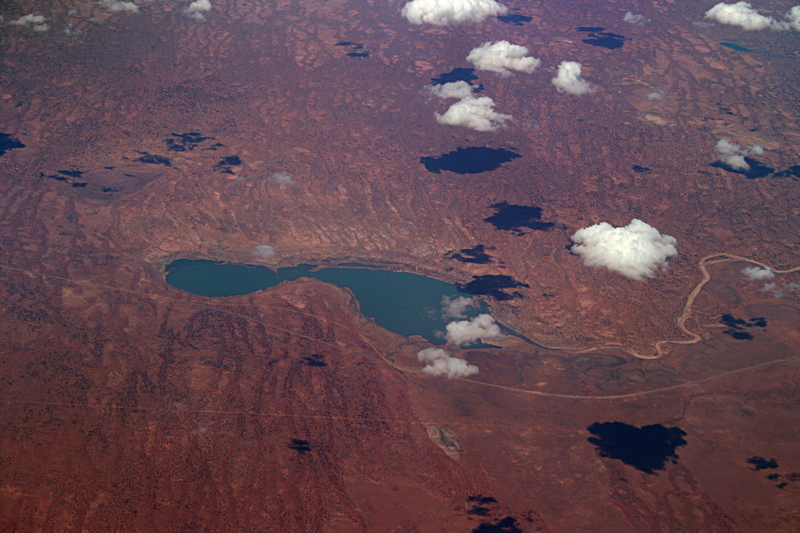
A receeding lake
I suppose this was a lake also. The cloud layer adds nice color
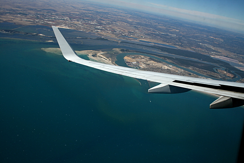
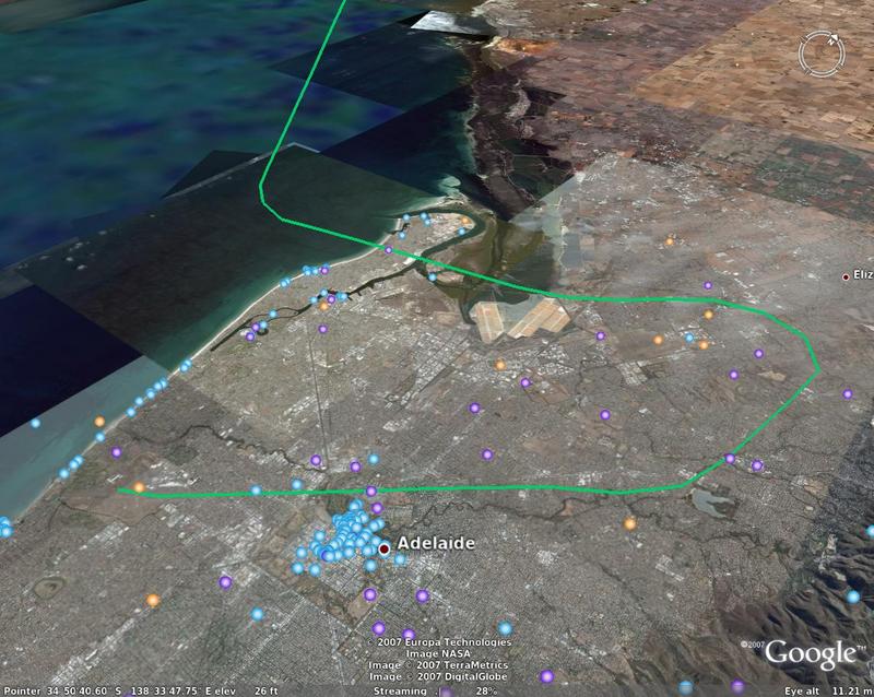
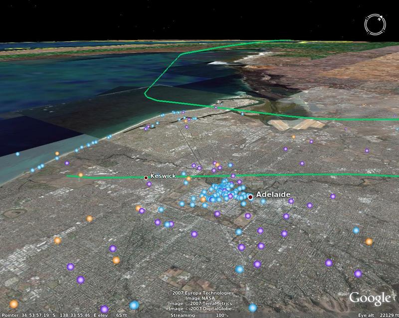
Approaching Adelaide - flight path
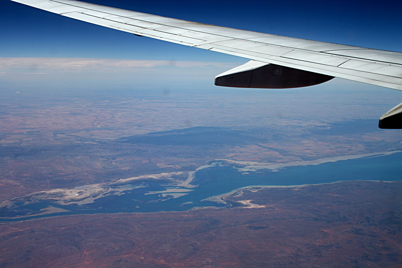
 and river.
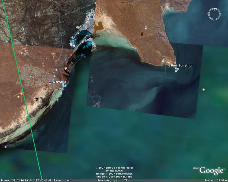
A refinery: Pt. Bonython Oil
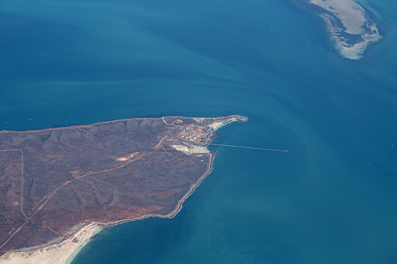
and the flight path to the south
Port Davis, (lower left)
Pt. Broughton

Pelicon Point Power Station
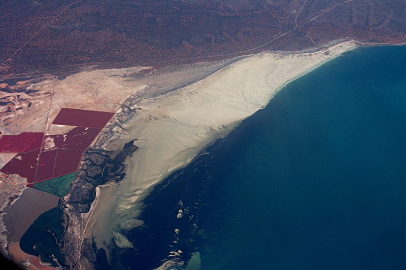
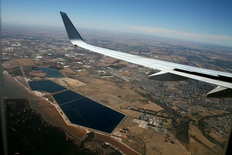
What I call polygon lakes
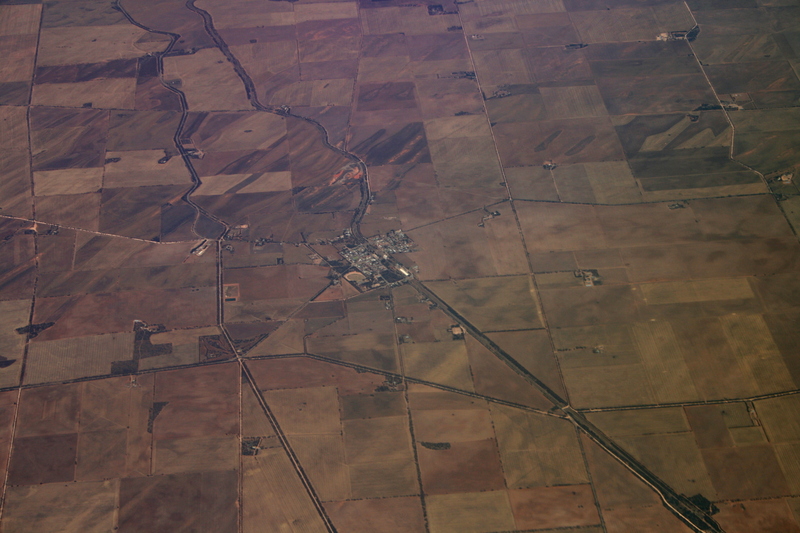
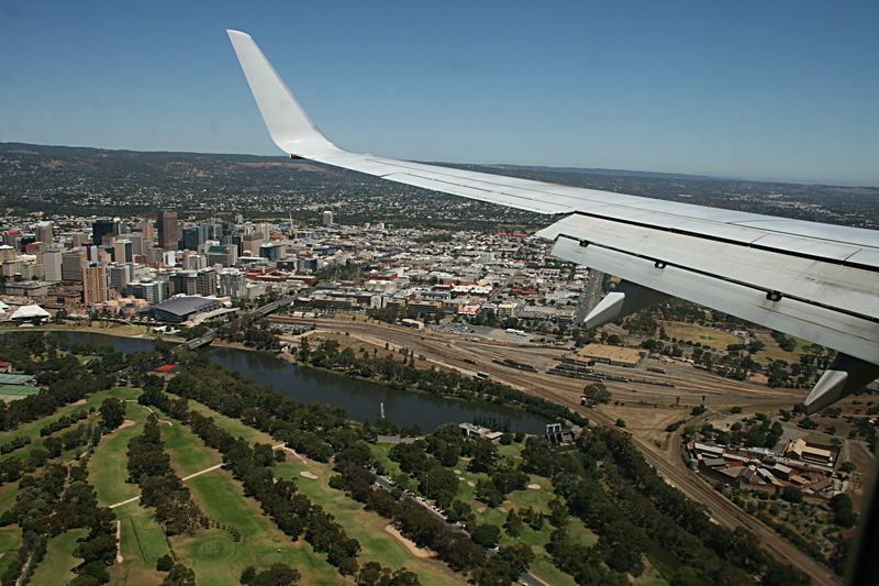
Western Adelaide
Passing over Something Bradbury Blvd?
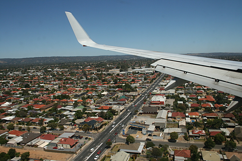
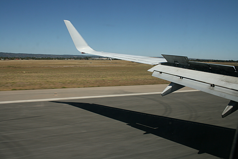
The final approach
The runway and air brakes

This work is licensed under a Creative Commons License.
C. Frank Starmer