Photo Adventures with Curiosity and Learning
Getting there
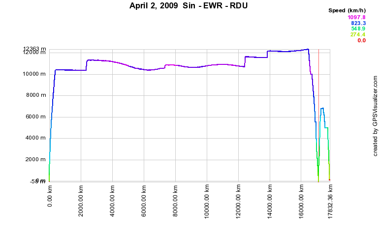
Here is a graph of altitude as a function of distance. The velocity is coded by color. I believe the jumps in altitude are artifacts and have to figure out why.
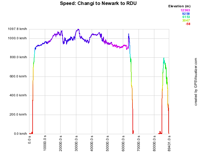
Here is a graph of the speed from Changi to Newark, then Newark to Raleigh/ Durham
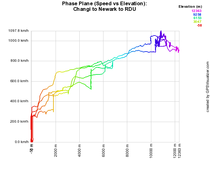
And for fun - here is a sort of phase plane plot: velocity vs altitude. The obvious is confirmed, the higher the altitude, the faster the guys fly the aircraft
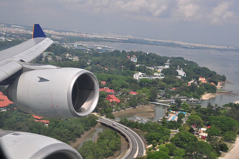
Takeoff from Changi
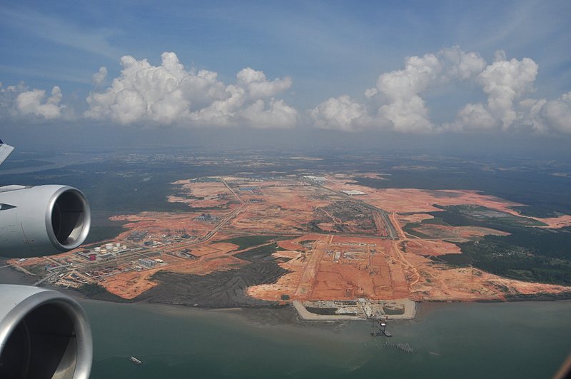
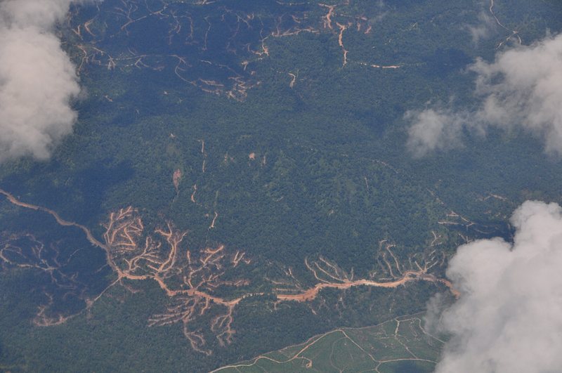
Malaysian construction
The Sungai Johor Bridge in the making
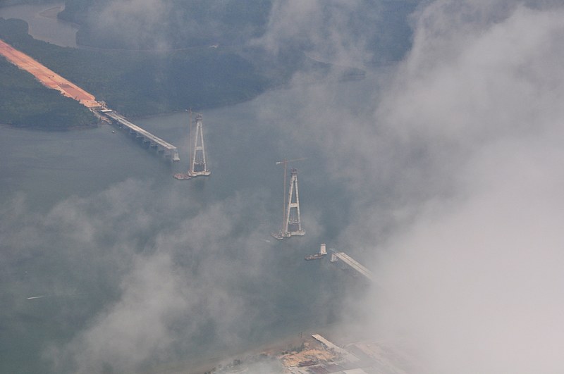
A wider view of the road segments on either side (being push over the river) and the stay-cable towers. (click for full image)

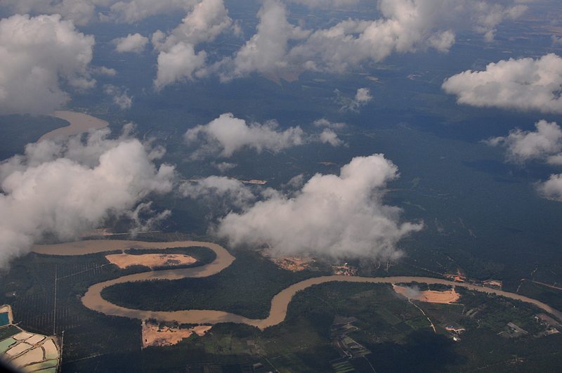
A snake-like river
Interesting flow patterns
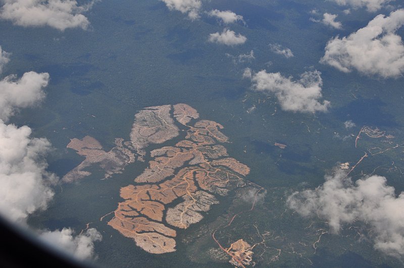
More interesting patterns
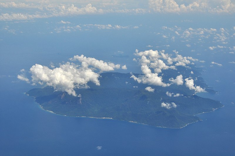
An island - I thought was Tioman, but I think not. Rather its Pulau Besar
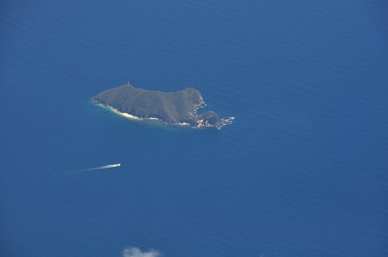
Pulau Pemanggil - south of Tioman
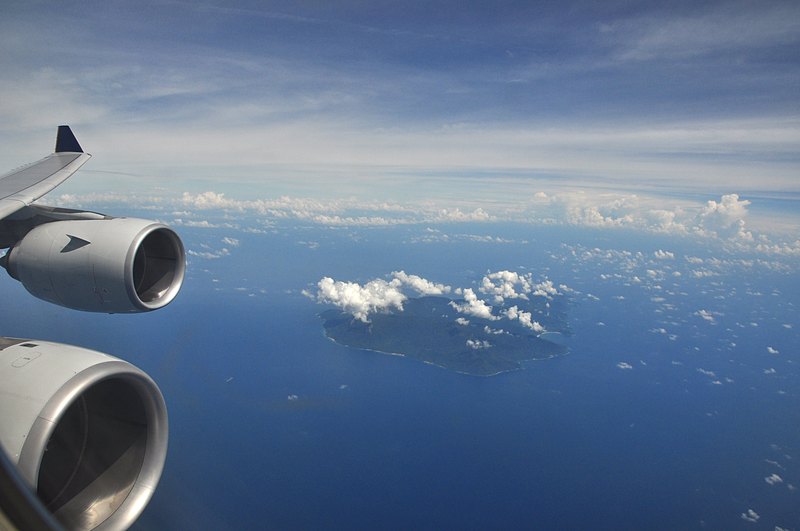
Another view. As usual - clouds are hugging the air space above the island, probably a reflection of both increased particulate matter in the air above the island as well as temperature gradients caused by whatever?
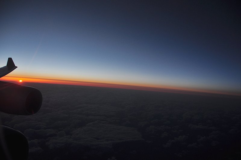
Sunset somewhere east of Tokyo (over the Pacific, April 2, 2009 16:57:21)
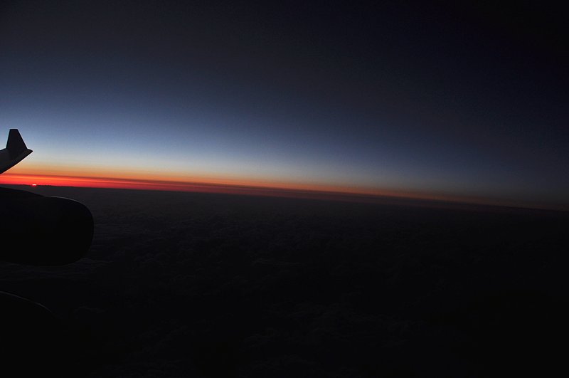
A little bit later (April 2, 2009 16:58:30)
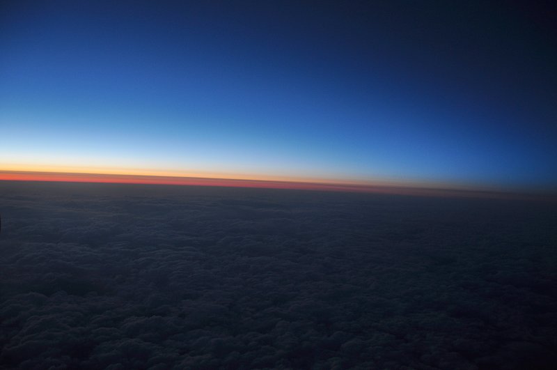
The sun has said goodbye and we are flying on a carpet of clouds:
(April 2, 2009 17:06:17, altitude 10,459m, GPS Position : 36 deg 42' 21.44" N, 145 deg 46' 40.27" E)

This work is licensed under a Creative Commons License.
C. Frank Starmer